


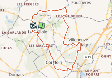

14,8 km | 16,1 km-effort


Utilisateur


Application GPS de randonnée GRATUITE
 SityTrail
IGN / Instituts géographiques
SityTrail World
Le monde est à vous
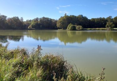
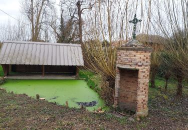
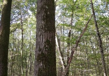
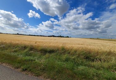
Randonnée Marche de 18,5 km à découvrir à Bourgogne-Franche-Comté, Yonne, La Belliole. Cette randonnée est proposée par micheljannot.
circuit balisé par Comité FFRP
s'appuie sur le GRP du Bocage gâtinais
sans description sur topoguide
Marche
Marche
V.T.T.
Marche
Marche

Geocaching
Geocaching

V.T.C.
Marche